We set off on the high tide out of Blackmans Bay and followed a fishing boat out through the narrows. We had a minor heart-in-mouth moment once, as we grounded. It was only brief however, and we were clear and back in good depth before my hand could reach the throttle.
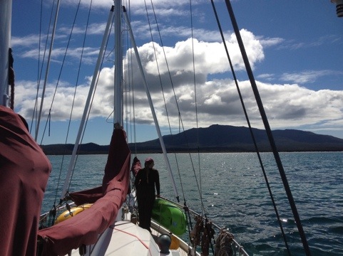
The 2 hour sail up to Maria Island was in gentle westerlies, maybe seeing 5 knots… So we motored.
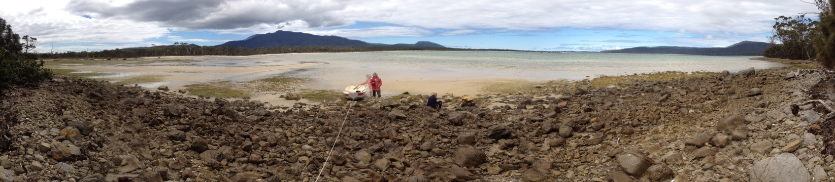
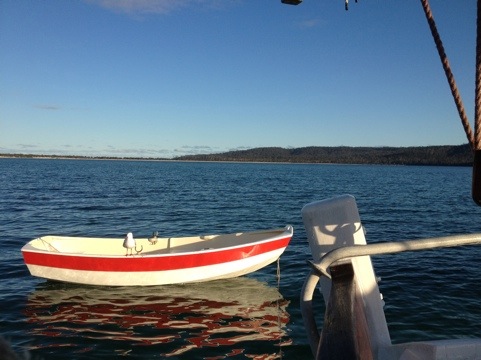
Chinamans (or Shoal Bay as it’s also called) is shallow. Very. So we motored in well clear of the points that form it’s entrance and tried to stay in deep water until we turned into Encampment Cove, on the northwest side of the bay. Anchoring in as close as we dared, we were still well off the shore in two meters of water.
The place got it’s name from a small party of Chinese abalone fishermen that were active during the 1870’s. They earned a living selling produce caught from the sea and also helped out on nearby farms, but more on those later.
I used to come to Maria Island yearly for while, when I was heavily involved in the now defunct Emu Bay Canoe Club. On one of those trips, more than 20 years ago, I caught a lift with a ranger to the southern end of the island to help him clean up some washed up debris on the beach. I remembered a homestead and a track in the area where we had anchored, so that first day we put ashore and walked along the north side of the beach. We struck inland to the faintly remembered track and followed it until I was lost.
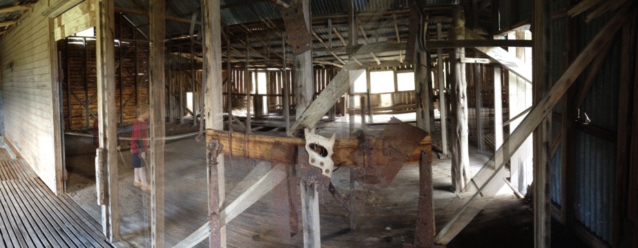
Gotta love Google Earth and a GPS on your iPhone. Pulling up a satellite photo of the area and having a mark on it for my current location, I quickly found where I had taken the wrong turn and where the house actually was (not where I had thought!). With eldest son grumping about the wild goose chase, we found the French’s house and a nearby shearing shed.
At various time since the 1830s and following the closure of the cement works on the northern part of the island in 1930, Maria Island was home to a small farming and fishing community.
Thomas Dunbabin ran sheep and cattle on the island in the 1860s – 1870s. The family residence was at Point Lesueur. Apparently, according to some local historians, his son recalled:
“He kept about 3,000 sheep on the island and reared 500 lambs each year. He grew as much as 3,600 bushels of grain a year… One of the troubles at Long Point was…the seals used to come up and roll in the wheat.”
Following the closure of the cement works the population of the island dwindled. Those left included the South African, John Robey (who ran sheep on a property on South Maria), the French and McRae families of Chinamans Bay and Point Lesueur, and the Howells’ near Darlington. Fishing, particularly for crayfish, earned plentiful catches which some used for food and income.
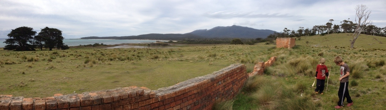
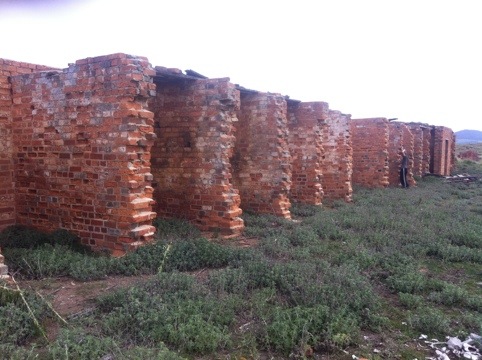
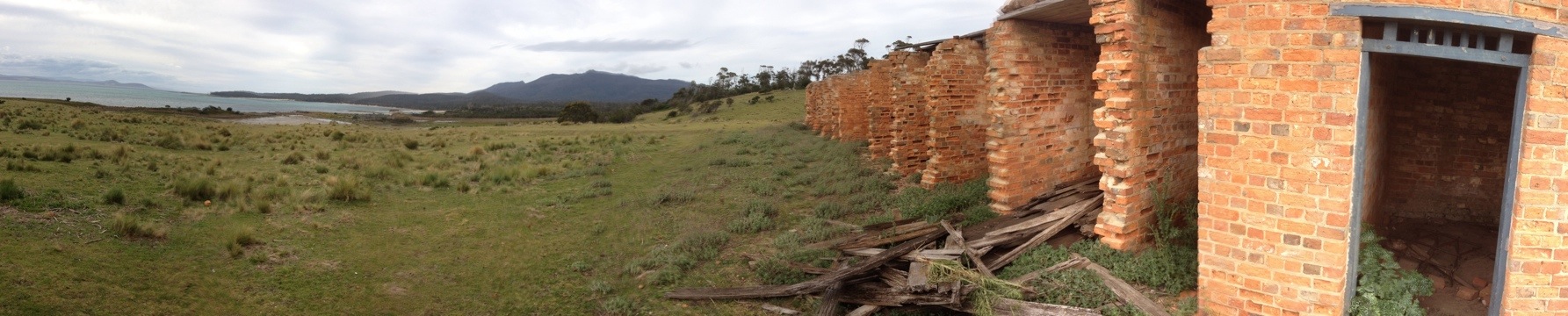
Farmhouses, shearing sheds and pens, and old fences remain as evidence of the era of the island’s history, so we set out on the following day to find the old convict cells and the McRae house out on the point.
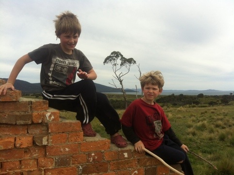
The cells turned out to be in ruins, no doubt the handmade convict bricks too useful to be left there. The boys had fun finding a kangaroo skeleton and exploring the area around the cells, but the stormy weather and incoming rain cut short our trek that day.
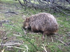
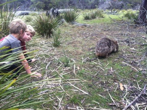
We had often commented, while walking the tracks, on the abundance of the square little turds made by the local wombat population. Given how shy wombats are, I really didn’t expect to see any, but we saw two adolescents on the walk back. One allowed the boys to get within about four feet before it wisely decided to get a bit of distance.
The next day Larissa and the boys went on another expedition to find the McRae house while I got on with some odd jobs on the boat… Like lounging in the cockpit taking photos of my new pet seagull…
They found the house on the next hill west from the convict cells, but had to scurry back again in the rain as the weather closed in. That night we had 30 knots at the masthead from the northwest, with heavy squalls of rain coming through every hour or two. The weather was expected to swing to southwest during the night, and at 0400 I awoke to the motion of the boat as the sea swept into the bay.
It was time to leave.